
Walk a Venice Street Record
A useful street-by-street search separates ownership, occupancy, and activity at the address. The Sarasota County Property Appraiser search supplies the first firm link: the situs address, parcel ID, municipality, assessed owner, mailing address, subdivision, and legal description. Situs means the physical site. It may differ from the tax-mail destination. That contrast can support an ownership theory, yet it cannot name renters or every member of a household.
The Venice street directory becomes more reliable when the parcel ID and legal description are carried into later searches. Follow this order:
- Search the full address in the Property Appraiser roll. Save the municipality, parcel ID, assessed owner, mailing address, and legal description.
- Open the parcel map. Click lots beside and across from the target when the task calls for a wider street view.
- Use the current owner and legal description in Sarasota Official Records. Match the deed image, not just a same-name result.
- Choose Venice eTRAKiT only if the municipality field places the parcel inside city limits. Otherwise use Sarasota County permit records.
- For an older household, check a verified directory edition and its street section, then compare the result with census, deeds, or newspapers.
This chain is stronger than a single name hit. A parcel is a mapped unit of land with its own county identifier. The deed may omit the modern address, so lot, block, subdivision, or another legal description keeps the trail attached to the right land.
Search Venice Streets by Situs
The Property Appraiser offers Real Property, Advanced Search, and Map Property Search. A short street-name core often works better than a long form packed with punctuation or suffixes. Venice names such as Avenida, The Corso, Esplanade, Firenze, and Nassau also deserve tests with and without a directional. If the simple form is too exact, use the advanced criteria or browse the map.
| Search control | Input | Street-directory use |
|---|---|---|
| Owner | Person, trust, or entity | Connect a known assessed owner to parcels |
| Situs address | House number or street text | Move from an address to the parcel card |
| Parcel/account ID | Exact county key | Bridge the roll, map, tax data, and deeds |
| Advanced Search | Available geographic criteria | Broaden or narrow a long street result |
| Map pan, zoom, identify | Visible parcel polygons | Inspect neighboring lots and detail links |
| Layers and basemap | Roads, aerial, boundaries | Read public map context when available |
A parcel card may show use, year built, values, exemptions, sales history, sketches, or a tax link. None of those fields turns the roll into a household list. Treat a homestead exemption and matching mail/situs addresses as support for owner occupancy, not proof of each person at the home.
Venice Addresses Cross City Lines
“Venice” can be a municipal name or a mailing label. City staff expressly warn that many Venice postal addresses sit outside city borders. This is the key geography quirk in any Venice street directory search. Read the municipality field in the parcel result before requesting permit, code, or project records. A blank result at the city portal may reflect the wrong custodian rather than the absence of a file.
ZIP 34293 contains extensive unincorporated Sarasota County territory. The same issue can appear in 34292 growth areas. Annexation can split one parcel’s permit history: older work may remain with Sarasota County while later work is kept by Venice. Deeds do not split in the same way because Sarasota County records them across the area.
Boundary check. Let the Property Appraiser municipality field choose the permit office; never route a file from the preferred mailing city alone.
Venice Street Records by Source
No official source supplies a complete roll of everyone at every address. Instead, a street directory uses records whose limits are clear. The table distinguishes what each Sarasota County or Venice source can establish and how to reach it.
| Address-keyed source | Keeper | What it can show | Access route |
|---|---|---|---|
| Assessment roll | Property Appraiser | Owner, situs/mail, parcel, legal description, exemptions | Free web search or South County counter |
| Parcel GIS | Property Appraiser / county GIS | Lot geometry, nearby parcels, aerial and public layers | Free interactive map |
| Official Records | Sarasota County Clerk | Deeds, liens, mortgages, plats, and named parties | Web from 1990; Public Access/microfilm from 1921 |
| Permit and code files | City or county by boundary | Work, cases, dates, applicant, contractor, inspections | eTRAKiT, county portal, or records request |
| Voter file | Supervisor of Elections | Public registration fields when lawfully released | Authenticated self-lookup or scoped request |
| Polk street section | Libraries and archives | Published occupant or subscriber in a specific year | Verify edition and street section with staff |
When a web index fails, change the access channel. Clerk Public Access staff, microfilm, phone-menu routing, and a focused search request cover older recorded material. City and county custodians accept requests for existing records under Florida Public Records Law, but they do not have to research an answer or create a new street list.
Open Venice Permits by Address
For a parcel inside the city, Venice eTRAKiT searches closed or completed permits, projects, business-tax records, inspections, and code issues. Select address or permit-number mode and keep the middle comparison operator at CONTAINS, as the city instructs. A street fragment can catch spelling and suffix variations that an exact entry misses.
The portal can return permit number and type, site, project description, status, issue and final dates, valuation, inspection history, reviews, attachments, applicant, owner, or contractor. Read the role beside each name. A contractor or applicant is not proof of residence. Open permits, violations, utility balances, and municipal liens use the city’s paid lien-search channel rather than an ordinary request.
The captured eTRAKiT search screen shows the controls used for a Venice by-address search.
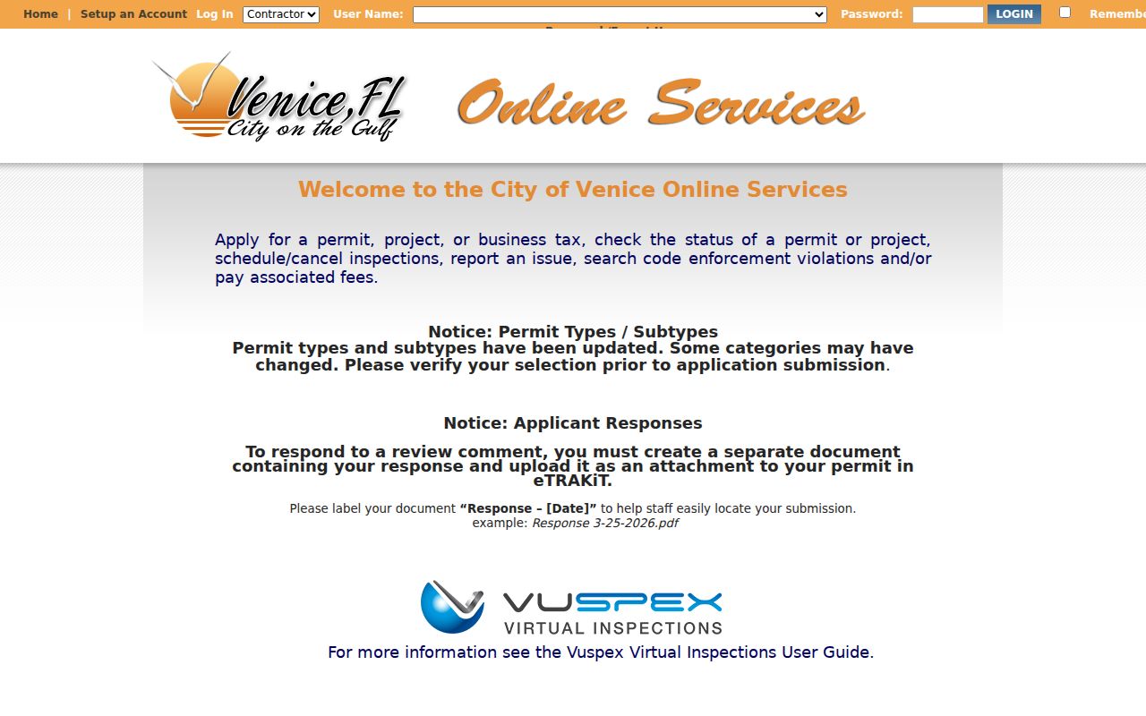
That interface supplies dated property activity, which belongs beside the parcel card and deed rather than being treated as an occupant roll.
Link Venice Deeds to Streets
Recorded deeds are indexed chiefly by grantor, grantee, document type, date, instrument, and legal description. A grantor transfers an interest; a grantee receives it. Since old deeds may not carry a modern street address, first collect the current owner and legal description from the parcel card. Then search the owner as grantee in the Sarasota Official Records index, limit the type to deed, and compare the image’s land description.
The online index begins January 1, 1990. Sarasota County Official Records begin in 1921. Crossing that web cutoff requires Clerk Public Access, grantor/grantee books, deed books, or microfilm. Before 1921, the trail may continue in Manatee County predecessor records because Sarasota County was created from southern Manatee that year.
- Parcel
- A county-mapped unit of land tied to an account ID.
- Situs address
- The parcel’s physical location, distinct from an owner’s mailing address.
- Plat
- A recorded map that fixes subdivisions, lots, blocks, roads, and easements.
- Criss-cross directory
- A printed section ordered by street and house number instead of surname.
Book/page or instrument number makes a durable citation. It also guards against the same-name trap. A seller’s later purchase may suggest a move, but require another identifier before connecting it to the same person.
Nolen Shaped Venice Street Searches
Venice does not follow a plain north-south grid. John Nolen’s plan began in 1925, was revised as the Brotherhood of Locomotive Engineers developed the city, and was platted from 1926 through 1929. Curved avenues, parks, boulevards, and named districts remain part of the address pattern. Major planned elements continued to take shape after World War II through 1960.
A modern label may not match the form used in an older record. Use the legal description and historic plat to bridge a road that was renamed, renumbered, or reconfigured. No authoritative citywide concordance of Venice street-name changes and dates was found. For one uncertain road, ask Venice Historical Resources for that street and date instead of assuming a broad renumbering year.
Historic-district boundaries can also set useful limits. The John Nolen Plan, Venezia Park, Armada Road Multi-Family, Edgewood, and Eagle Point districts each describe real local geography, but none is a present resident directory.
Read Venice Streets in Polk
The strongest verified local printed run is Polk’s Sarasota and Venice City Directory for 1955, with institutional evidence for 1955 through 1957. Ask the State Library or Sarasota County History Center to confirm that a specific volume contains a street or criss-cross section. Not every edition does. If present, scan the street name and then the house number, recording gaps rather than filling them with assumptions.
A listing may include initials, spouse, work, or a seasonal marker. Early regional entries used (w) with a northern winter address. The meaning is a local quirk with real search value: absence in another season or a second address is not automatically an identity error. Always consult the abbreviation key in that volume.
The full shelf and reading method belong to the Venice city directory collections. For street work, the old volume is one dated layer beside census, deeds, plats, permits, and newspapers.
Voter Data Is No Street Roll
Sarasota County’s My Voter Record asks for first name, last name, and date of birth. It returns the voter’s own registration, upcoming-election information, and recent participation. It cannot browse a road and should not be described as a door-to-door directory. A scoped public-record request may ask the Supervisor of Elections for lawfully public fields by geography, subject to format, fees, and exemptions.
Florida closes Social Security numbers, driver-license or state-ID numbers, and the application source. Signatures may be viewed but not copied. Protected voters may have location fields withheld. Participation means that a voter took part, never how the ballot was marked. The file also omits minors, nonregistered adults, and anyone else not represented in the roll.
Limits of a Venice Street Directory
A Venice street directory can identify assessed owners, mapped parcels, recorded title parties, permit activity, and published historical subscribers. It cannot lawfully reveal a full current household. Renters, children, other household members, utility customers, delivery data, protected voters, confidential driver data, and private association rosters do not become public merely because an address is known.
Commercial neighbor tools merge data from uneven sources and uncertain dates. Their output cannot resolve present occupancy. Use official records for lawful personal work such as family history, property curiosity, civic research, or scam prevention, and accept every custodian redaction.
Lawful use. Florida law prohibits stalking, harassment, and cyberstalking. Never use a Venice address trail to threaten, intimidate, confront, or harm anyone.
Note: A blank address result may reflect jurisdiction, spelling, protection, or coverage limits; it does not prove that nobody lives there.